Copper Harbor to Isle Royale, Michigan Monday, May 31, 2021
This title will only make sense to die hard Pulp Fiction fans. John Travolta is having male-bonding talk with Samual L. Jackson before they carry out a vicious hit. He muses about France, how he loves the little differences. Because of the metric system, they don’t call it a Quarter Pounder with Cheese. It’s Le Royale with Cheese.
I love cheese, so I brought plenty with me to the island. If you look at a map, Lake Superior looks like a profile of the head of a monster.
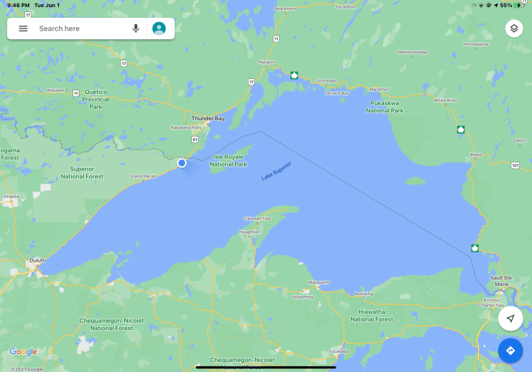
The Keweenaw Peninsula is the mouth, and Isle Royale is the eye. I always wanted to go, but you can only get there by boat or seaplane. Now, I had my chance. If I wanted to be grandiose (who, me?) I could say I was Paul Bunyan, using the island as a stepping stone to Minnesota.
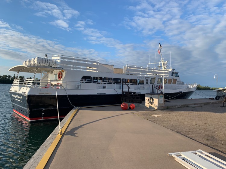
Bikes aren’t technically allowed, they don’t want mountain bikes on the trails, but you can bring them if you don’t ride them. Needless to say, not many do, so I made quite a stir with the backpackers and kayakers waiting to board the ferry, the Island Queen IV.
Always happy to talk about myself, I was in almost constant conversation on the 3 1/2 hour passage, and for as couple of hours more after we landed. I wish I could remember their names and stories, they were at least as compelling as mine.
That and logistical snafus kept me from getting into my cabin until almost 3PM. Just enough time for a short hike, the ranger had recommended a 5 mile loop to Point Scoville.
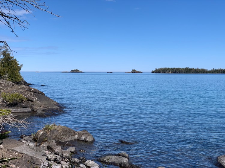
Lake Superior fascinates me. I’ve only seen it once, from the Trans-Canadian train enroute to Vancouver on June 13, 1987. It’s the largest freshwater lake by area in the world (Lake Baikal in Siberia is deeper and has more volume, and the Caspian Sea is technically a lake, but is salty) and the most pristine of the Great Lakes. The lake they call Gitche Gummi is featured in Longfellow’s Hiawatha and Gordon Lightfoot’s The Wreck of the Edmund Fitzgerald, https://youtu.be/9vST6hVRj2A, which was the last thing I listened to before I lost my signal on the mainland.
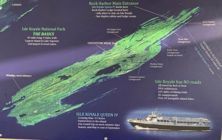
Here is a map of the island. The main facility is at Rock Harbor, near the northern tip. My hike went to the tip of that prong Rock Harbor is on. So you can see, I just did the tiniest fraction of the island.
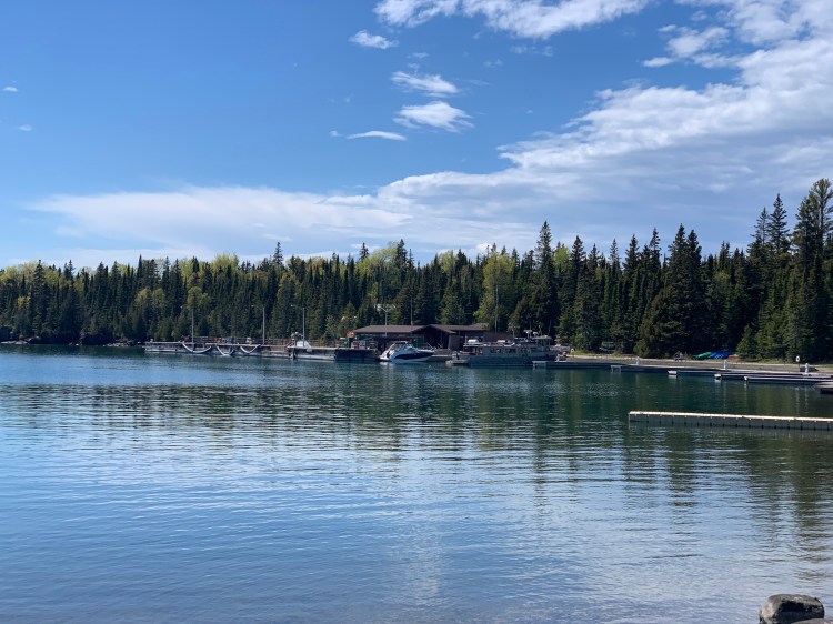
These photos utterly fail to capture the magnificence and scale of the place. You just have to be there.

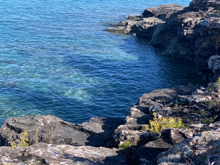
The water is so clear you are fooled that it’s much deeper than it appears. On one cliff over the water, when the wind blew just right, I got a single bar of service and was able to reach Jane. Funny, I could hear her clear as a bell, but she could barely hear me.
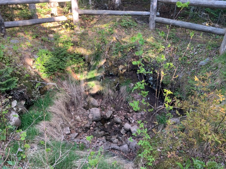
The trail led past one of the old copper mines that used to dot the island, before the national park was established.
When I got back to Rock Harbor, the place was deserted. All the bustle of passengers when I arrived was gone, they had backpacked or taken their canoes elsewhere. I went back to my cabin, ate the food I had brought from the mainland, watched a sunset through the windows, and fell asleep to the call of loons.
Distance 1 mile biking, 5 miles hiking 2,064 total. Time 3 hours with stops. Elevation gain 390 feet
