Ingham Lake to Hawkeye point, Iowa Monday, July 12, 2021
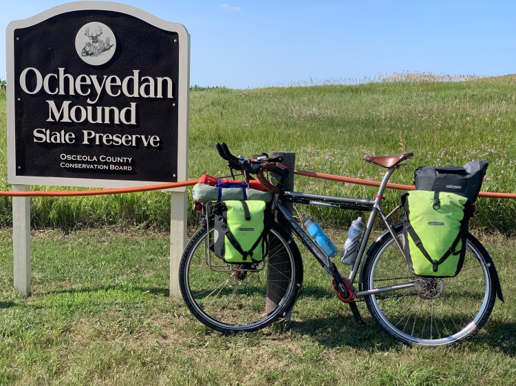
Back in 1973, when Brian and I first started highpointing, there was only one guidebook available, just a pamphlet really: Highpoints of the States, by Frank Ashley. I still have my copy. He identified Rib Mountain as the highpoint of Wisconsin, Mount Curwood for Michigan, and Ocheyedan Mound for Iowa. All three turned out to be inaccurate, after more detailed survey information became available. As I mentioned in previous posts, Rib Mountain is certainly more impressive-looking than Timm’s Hill, but 24 feet lower. Mount Curwood is just 11 inches shorter than Mount Arvon. And Ocheyedan Mound is 15 feet lower than an imperceptible rise in a cornfield, later named Hawkeye Point.
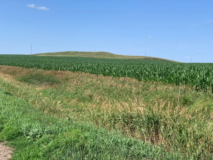
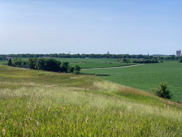
My ride today took me right past Ocheyedan Mound, and I kept a lookout for it. I’ve been bemoaning the fact that most of these Midwestern highpoints are unrecognizable as such as you approach them. It’s too bad, the Mound at least looked like a hill from afar.

I had to go check it out.
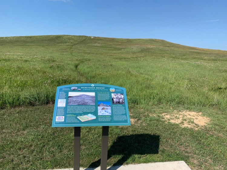
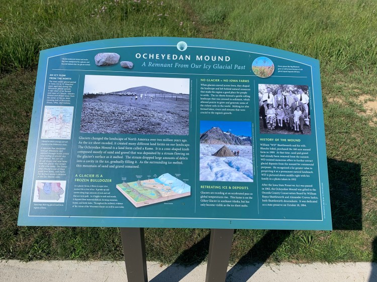
I am a glacier geek, into moraines, kettle ponds, and drumlins, but I have never heard of a kame before. If you zoom in on this picture, you can see the details. Interesting.
The view from the top was expansive in all directions, but difficult to capture on camera. The view to the northwest shows the town of Ocheyedan, and somewhere behind it, 11 miles away, is Hawkeye Point, although you’d never know it. This was the first 360° view from a natural point on the entire trip. (I did get one from the fire tower on Timm’s Hill.)
To the southeast were hundreds and hundreds of wind turbines, but they didn’t show up well in the picture, I won’t even bother posting it. It was quite a sight after dusk, all those air warning lights.
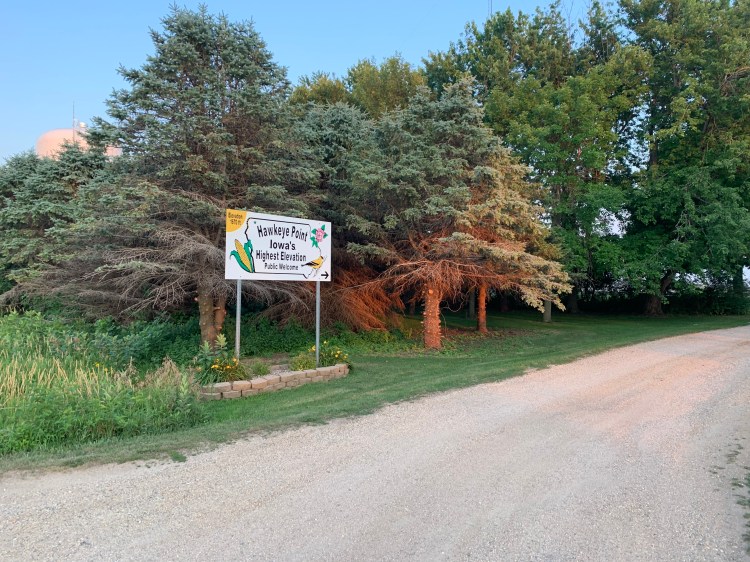
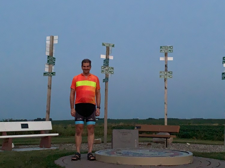
Definitely worth the slight detour, but it did set me even further behind (I typically get late starts talking with charming warmshowers hosts), so I only had an hour of daylight left when I arrived at Hawkeye Point itself.
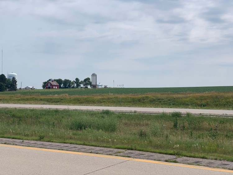
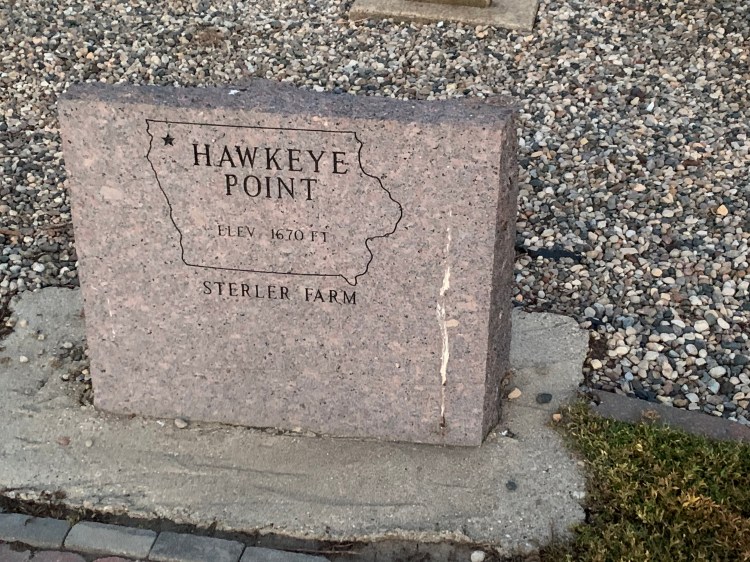
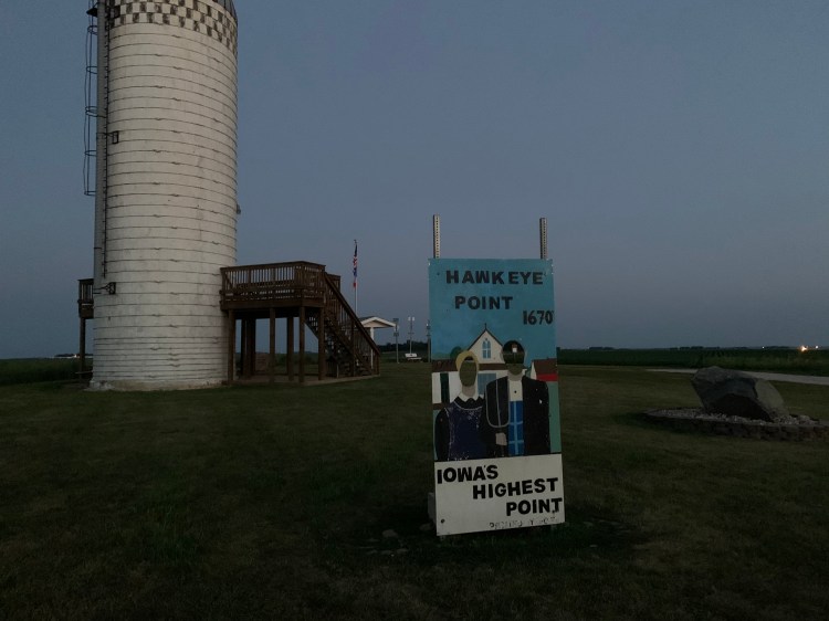
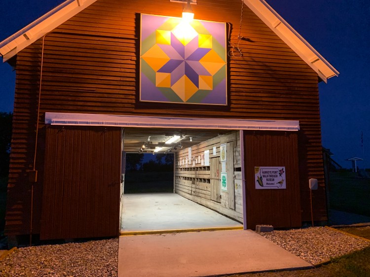
I spent half of that setting up camp in the campground that was right there. Then I hurried over to the highpoint, which, for all my scoffing, has been nicely improved. Until recently, it was just a feed trough on the Sterler farm, but the family passed the land on to the state, and it made an interesting park there. When life gives you lemons…

There was one other couple there, Travis and Brandi,
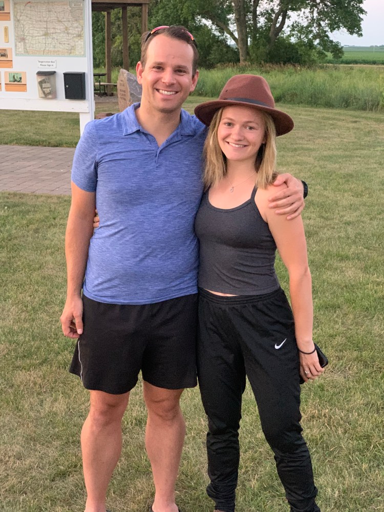
who had done Illinois (on a no-access date, but nobody stopped them) earlier that day and were heading to the Badlands. They were from Portland, Maine, she had just gotten her PA degree and was starting in the neurosurgery department at Maine Medical Center in a month, they were trying to see as many highpoints and national parks as they could. Brandi’s mother has done all 50, and will be joining her on Granite Peak next month. Brandi is also trying to run a marathon in every state, and has already done many, as has Travis. They were an impressive couple, and we talked until after the sun went down, I’m afraid I held them up on their journey.
I lingered until it got really dark, finishing my Subway dinner and taking as many pictures as I could in the meager light.

Tonight was the Mars-Venus conjunction, but there was enough ground haze that I could only see Venus and the moon. It didn’t show up well in photos. Didn’t get to sleep until after midnight.
Distance 74 miles, 3,782 total. Time 10 hours with stops. Elevation gain 1,348 feet.
©️ 2021 Scott Luria
