Lost Man Campground to Leadville, Colorado. Wednesday, July 10, 2024.
It seems a lot of state highpoints are named after people we’ve otherwise never heard of: Rainier, Borah, Marcy, Wheeler, Harney, Whitney to name a few. But you’d think that the highest mountain in Colorado, the highest of all the Rockies (including the Canadian Rockies) would have a grand name. Samuel Hitt Elbert was territorial governor of Colorado for only a year, his chief accomplishment being negotiating a hollow treaty with the Utes, giving prospectors mineral rights to their vast lands, while allowing them to stay in Colorado. Just a few years later, the Meeker Incident led to the Utes’ complete expulsion. The prospectors were so grateful that they named the apex of Colorado after him. It’s an odd coincidence that this mountain is only 65 feet lower than the highest in the lower 48, Mount Whitney.
On August 16, 1977, I left my friend to shop and sightsee on the streets of Aspen, while I took her maroon Pacer over Independence Pass to the Elbert trailhead. The climb was challenging but straightforward, Class 1 actually, meaning you could do almost all of it with your hands in your pockets. They call Elbert the Gentle Giant. I remember the bands of vegetation almost followed the contour lines, aspens giving way to lodgepole pines, then scrub growth, then timberline at 11,000 feet. The last 3,000 feet were picking your way through manageable rocks. Near the top, I thought I was hallucinating, I could swear I saw an Amish couple up there. No hallucination, they really were a couple of Mennonites, the woman wearing that classic cotton bonnet. The view was nice, but an indecipherable jumble of other rocky peaks, I signed the register and went down. I have Kodachrome slides of all this that I hope to convert digitally and insert them later into this blog.
When I got back to the Pacer, the radio was full of eulogies and lamentations, it took a while to figure out that the King of Rock had been found face down on his bathroom floor. Another odd coincidence: I climbed Elbert on the day Elvis died.
Even though I’ve pretty much let go of my goal of sea-to-summiting all 50 state highpoints, I wanted to do this one, wanted it enough to deal with those three 12,000 foot passes. 1,500 feet of the first one remained, the grades weren’t any steeper than before, but the altitude was making me short of breath, and I wound up pushing half of it. I passed the ghost town of Independence near the top, the first mines in the Aspen area, but the gold found there ran out quickly and the prospectors found much more silver down in Ute City itself. I passed Kevin Costner’s driveway, but he didn’t come out to greet me. There were some intriguing side trails along the way, but I was too bushed to want to walk another step. I got a disheartening view of the road ahead, still way above me leading to the pass,
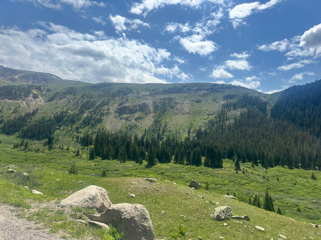
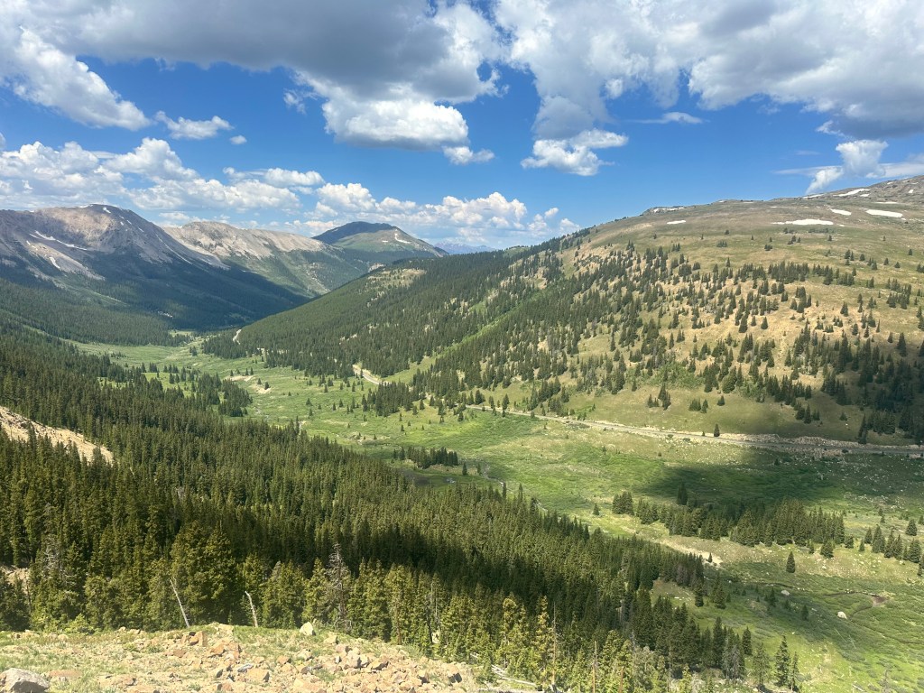
and what seemed an eternity later, from that road, looking back down to where I took the first picture.
Finally, finally, I reached the parking lot, and was greeted by cheers.
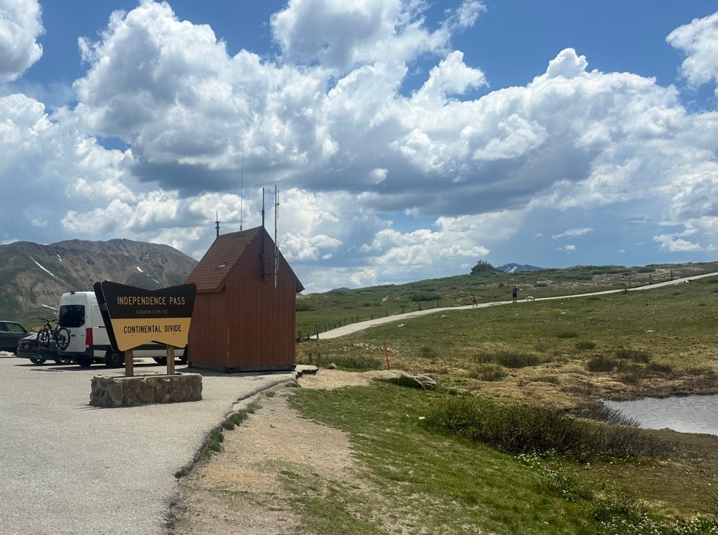
A nice lady agreed to take my picture

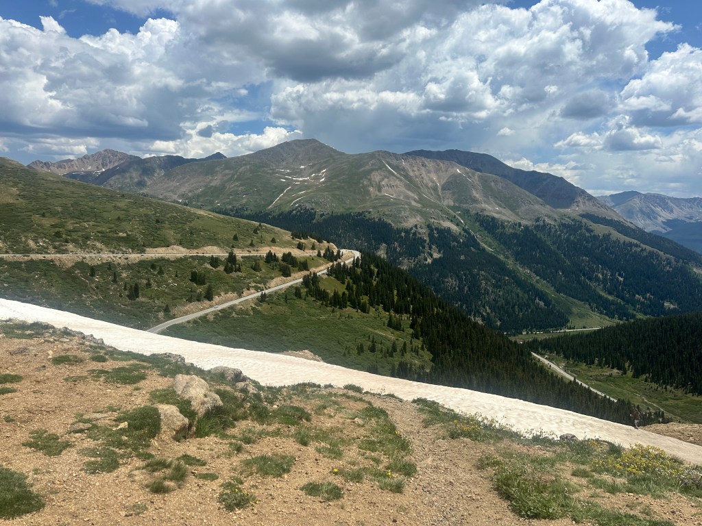
I hadn’t been this high since Gannett Peak in 2017, and never this high on a loaded bicycle. I surprised myself, how much I was huffing and puffing walking up that easy path you see in the background of the first picture, also noticed a slight headache and realized that these were the first signs of acute mountain sickness (AMS). I needed hydration and to get out of there, but not before a few more pictures of the view

and of the switchbacks I would shortly be taking heading down.
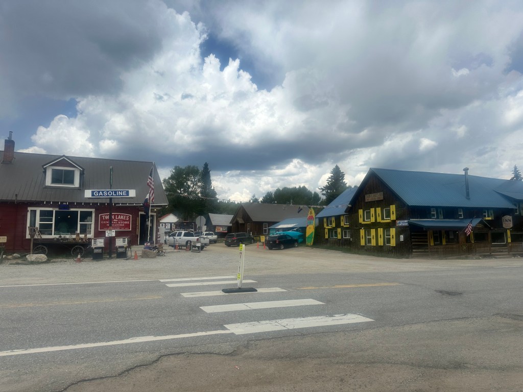
It seemed steeper heading down, I couldn’t imagine heading up this slope, couldn’t wipe the smile off my face while I belted out Springsteen’s The River at the top of my lungs. I was in the Arkansas River watershed. I soon reached the tiny settlement of Twin Lakes, where the path crossed the Continental Divide Trail, and I chatted with some backpackers.
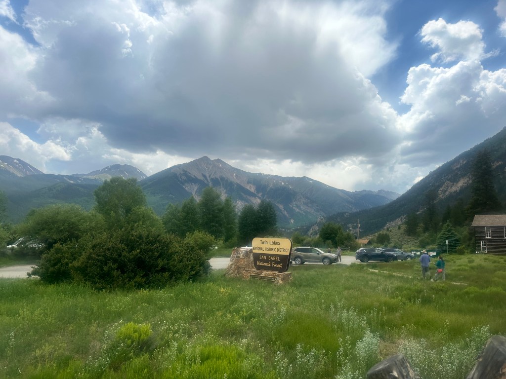
I got an internet signal for the first time and saw there was a high chance of severe thunderstorms, indeed, those clouds looked threatening. The cabins here were all booked up, as the backpackers had discovered.
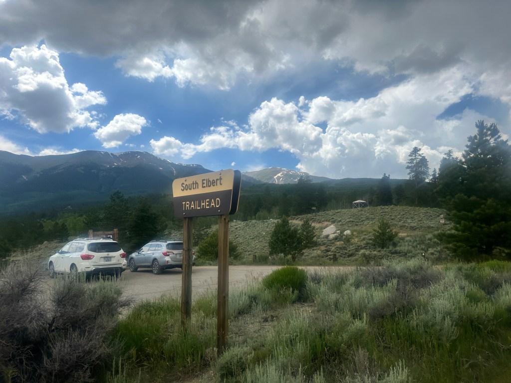
Only five more miles till the Elbert trailhead.

I had planned to camp here, and to go to Leadville the next day, but it started to rain, the temperature was forecasted to drop to 34°, and I had discovered last night a micro leak in my air mattress, difficult to fix out in the field. Leadville was only 20 miles away, I was able to extend my reservation a day in advance, and decided to make a run for it. The first 6 miles were easy and downhill,
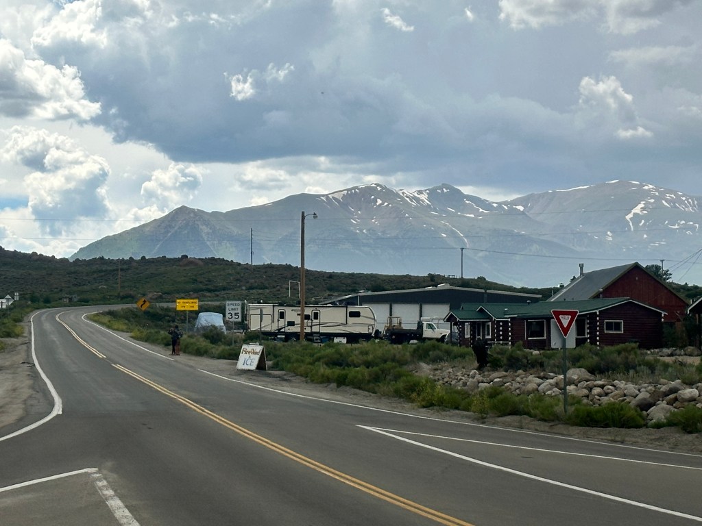
but there were still 14 miles to go, 1400 feet of climbing, and now I was on US 24, a much busier road with poor shoulders. Somebody actually honked at me, but I saw he had out-of-state plates. Soon the full force of the thunderstorm was upon me, with lightning striking nearby, pea-sized hail stinging my legs, and rain so heavy it soaked through my fancy Showers Pass jacket. Elbert wasn’t quite done with me yet. No shelter anywhere, there was nothing to do but just push on, fortunately like most thunderstorms it was short-lived.
My motel was a “tiny house”, I always wanted to stay in one of those.
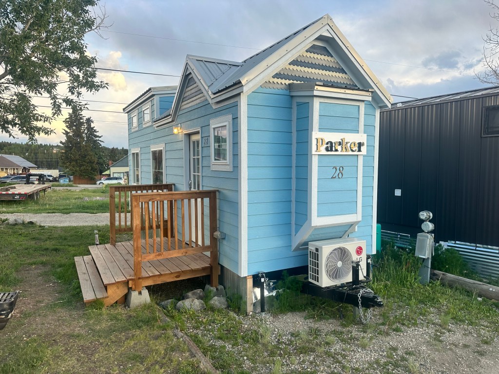
It was just as cute inside as out, just big enough. I was so soaked and chilled I didn’t go back out, just turned up the heat, ate the boil-in-a-bag meal I was going to fix in the campground, showered, and crashed.
Distance 48 miles, 2,967 total. Time 9 hours with stops. Elevation gain 4,019 feet
©️ 2024 Scott Luria
